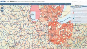
 The U.S. Environmental Protection Agency has an online map tool that can overlay environmental justice layers. This new environmental justice (EJ) mapping and screening tool is called EJSCREEN and it uses publicly-available national data to combine environmental and demographic information into custom maps and reports.
EJSCREEN users can choose a specific geographic area and then choose overlays from a menu of demographic and environmental information for that area.
Read more and make your own map at: https://www.epa.gov/ejscreen


